
The Geological Marvel of the Canary Islands
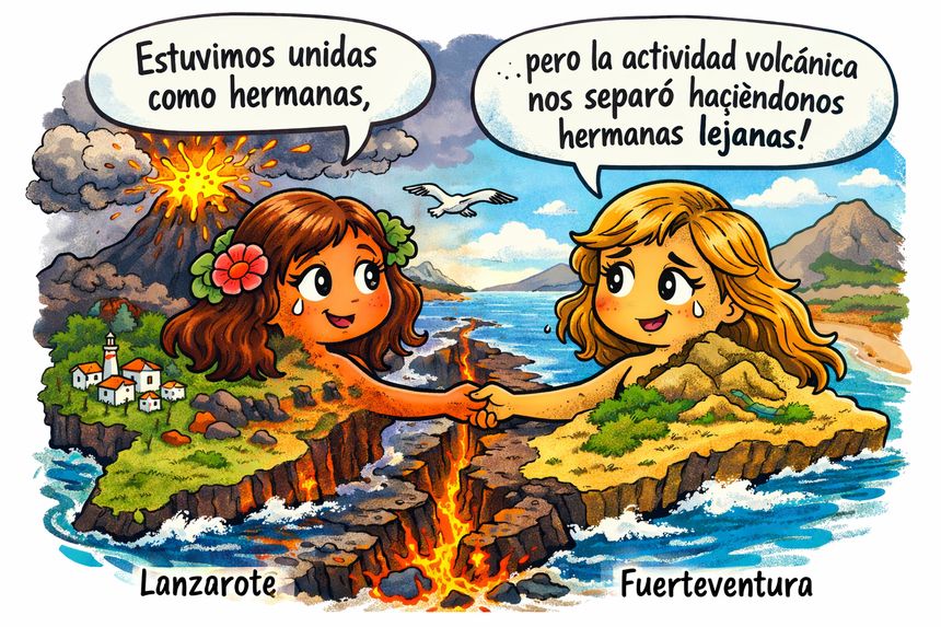
Islas hermanas.
The Canary Islands stand as a picturesque testament to the earth’s geological wonders and historical transformations. This archipelago is not merely a cluster of islands, but the product of a lengthy, intricate geological process that has unfolded over approximately 20 million years, shaped by tectonic movements, volcanic activity, and the dynamic nature of the Atlantic Ocean.
The Geological Context
The geological narrative of the Canaries initiates with the breakup of the supercontinent Pangea around 200 million years ago. This monumental shift led to the gradual separation of tectonic plates—namely, the American, African, and Eurasian plates. Over time, the Atlantic Ocean widened at a rate of roughly 2 centimeters per year, a movement rooted in the processes of ocean floor expansion and the stretching of the oceanic lithosphere.
This extension not only created expansive oceanic basins—some with depths reaching nearly 7,000 meters—but also resulted in the emergence of numerous island arcs and volcanic formations in the Atlantic and the Caribbean Sea. Among these formations are volcanic archipelagos like Macaronesia, containing the Azores, Madeira, and the Canary Islands, all shaped by similar geological processes.
The Birth of the First Canary Islands
When delving into the chronological emergence of the Canary Islands, Lanzarote and Fuerteventura reign as the oldest. Their volcanic activity dates back approximately 19 to 20 million years to the early Miocene. These islands likely formed almost simultaneously from a shared volcanic structure beneath the sea, exhibiting both geological and morphological similarities as they emerged from the ocean depths.
The subsequent formation of the other Canary Islands—Gran Canaria, Tenerife, La Gomera, La Palma, and finally, El Hierro—occurred progressively towards the west. This spatial arrangement correlates with the movement of the African tectonic plate, which is gradually shifting in a south-southwest direction while the Atlantic continues to separate.
Phases of Fracture and Separation
In the early volcanic stages when Lanzarote and Fuerteventura were still connected, a significant volcanic activity erupted in the northern region of Lanzarote, leading to the fracturing of the Famara massif. This process separated La Graciosa and the Chinijo archipelago from the original volcanic mass, each retaining traits from their shared origins.
Later geological activities, particularly in the south of Lanzarote and the north of Fuerteventura, solidified their separation, carving out the current submarine channel marked by a depth of around 30 to 35 meters that spans between Lanzarote, Lobos Island, and Fuerteventura.
Recent Coastal Changes and the Islet of Francés
Geological processes are not limited to millions of years; they also manifest significant coastal changes within historical and subhistorical times. One noteworthy observation is the Islet of Francés located in Arrecife, which might have once been part of the older Charco de San Ginés or been integrated into its structure. The geological composition, morphology, and its relationship with nearby volcanic formations indicate that it could have originated as a part of a larger coastal unit, later isolated through human modifications and natural erosion.
Additionally, Lanzarote features a significant physical fracture running approximately from the SOO area to the El Lomo neighborhood. This fracture could have resulted from various volcanic episodes and might have influenced the redistribution of volcanic materials, contributing to the current geological landscape.
The Alleged Recent Union of Lanzarote and Fuerteventura
The assumption that Lanzarote and Fuerteventura were joined as recently as 11,000 years ago—during the last glacial maximum—holds little plausibility. While sea levels dropped significantly during that period, substantial geological evidence does not support a recent terrestrial connection between the two islands. Their separation appears primarily due to ancient volcanotectonic processes, rather than erosion caused by rising sea levels.
The morphology of both islands’ coastlines suggests a coherent fit, as they likely originated from a singular structural system disrupted by faults and eruption events rather than merely superficial sea-level fluctuations.
Understanding the Continuous Transformation
The Canary Islands are far from isolated entities; they emerged through a backdrop of volcanic activity, tectonic processes, and ongoing transformations that continue to shape their landscape. The oldest islands, Lanzarote and Fuerteventura, hold vital clues about the island chain’s collective identity and evolution.
Even on a local level—for example, in analyzing the relationship between Charco de San Ginés and Islet of Francés—the geological history reveals that the Canary Islands are continuously evolving. They’ve been sculpted by various natural forces, demonstrating that geological change is a constant theme in their narrative.
Data and Reliable Sources
-
Ancochea, E. et al. (1990–2006)
Detailed studies on the volcanic evolution of the Canary Islands. Journal of Volcanology and Geothermal Research. -
Carracedo, J. C.
Los volcanes de las Islas Canarias. Editorial Rueda / CSIC. A fundamental reference for understanding volcanic chronology and the migration of volcanism. -
Instituto Geológico y Minero de España (IGME)
Geological maps and explanatory reports on Lanzarote and Fuerteventura. -
US Geological Survey (USGS)
Data regarding the expansion of ocean floors and continental drift rates. -
NOAA – National Oceanic and Atmospheric Administration
Bathymetric data on the North Atlantic and maximum ocean depths. -
Historical Cartography and Aerial Photography of Arrecife
Documenting morphological changes of Charco de San Ginés and its coastal environment.
Author’s Clarification
This article presents geological observations that are crucial for understanding the physical and territorial framework of the Canary Islands. The narrative emphasizes the dynamic processes that have shaped these islands through time, integrating both recent research and long-standing geological principles. The Canary Islands, born from the ocean and shaped by a tapestry of volcanic activity, continue to intrigue and inspire scientific inquiry and appreciation.
 "Fuerteventura: In Search of a Sustainable Paradise")
