The Largest Earthquake in Five Years Hits the Canary Islands
On Friday morning, the Canary Islands experienced a seismic event that has captured the attention of both residents and experts alike. The National Geographic Institute (IGN) reported a significant earthquake measuring 4.8 mbLg, marking it as the largest quake recorded in the region over the past five years. This seismic activity has raised questions and concerns, particularly as it was accompanied by three aftershocks of lesser magnitude.
Details of the Earthquake
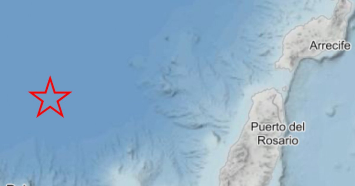
The earthquake struck at 9:50 AM (Canary time), with its epicenter located approximately 61 kilometers north of Las Palmas de Gran Canaria. The quake occurred at a focal depth of 30 kilometers beneath the Atlantic Ocean. This depth is typical for seismic events in the region, which is known for its tectonic activity due to the interaction of various geological plates.
Aftershocks and Their Implications
Following the main earthquake, three aftershocks were recorded: the first at 9:24 AM with a magnitude of 2.4, the second at 9:43 AM measuring 3.3, and the last at 10:21 AM with a magnitude of 2.5. All aftershocks occurred at the same depth of 30 kilometers. While aftershocks are a common occurrence following significant earthquakes, they are not typically felt in the Canary Islands, according to IGN sources. Fortunately, these aftershocks did not cause any reported damage or panic among the population.
The Seismic Network’s Insights
The IGN has attributed the earthquake and its aftershocks to a tectonic origin, a common cause for seismic activity in volcanic regions like the Canary Islands. The seismic network continuously monitors such events to provide timely information to the public and authorities.
Intensity and Impact
The earthquake was classified with an intensity of III on the European macroseismic scale, which ranges from I (not felt) to XII (completely devastating). An intensity of III indicates that while the tremor was noticeable—causing slight oscillations in hanging objects and minor vibrations in buildings—no significant damage was reported.
The tremor was felt across approximately thirty locations in the northern half of Gran Canaria, as well as in the municipalities of Pájara and Puerto del Rosario in Fuerteventura. In addition, several areas in Tenerife also reported feeling the quake, albeit with a lower intensity of II, which is classified as barely perceptible.
Preceding Seismic Activity
Interestingly, just 35 minutes before the main earthquake, a smaller quake of magnitude 2.1 was recorded between Gran Canaria and Tenerife. This event occurred in the underwater depths separating the two islands and may have been a precursor to the larger seismic activity that followed.
Conclusion
The recent earthquake in the Canary Islands serves as a reminder of the region’s dynamic geological nature. While the tremors were felt by many, the lack of significant damage or injuries is a relief to residents and authorities alike. As the IGN continues to monitor seismic activity, the focus remains on ensuring the safety and preparedness of the islands’ inhabitants in the face of potential future events.