The Rising Waves: Coastal Alerts in Fuerteventura
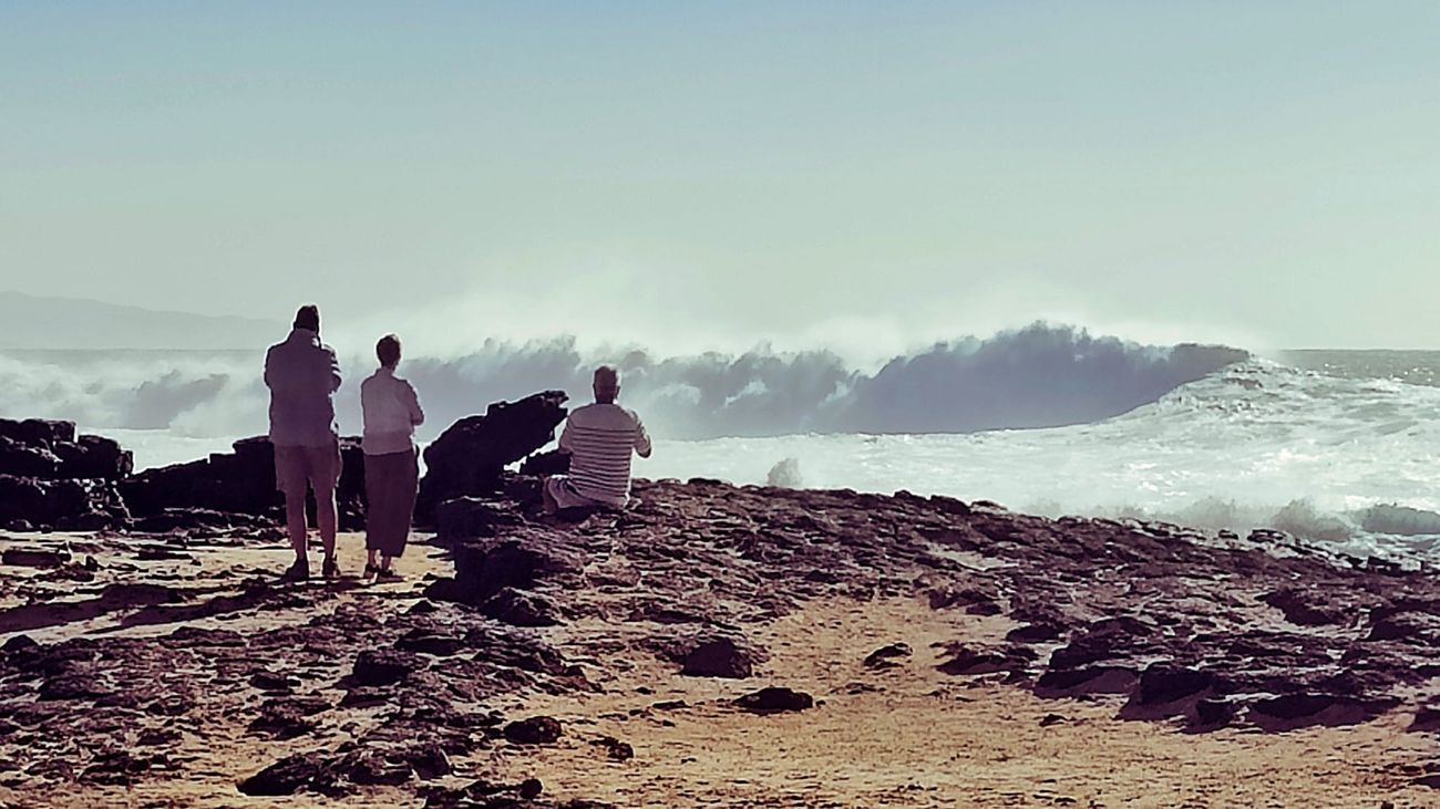
The North Atlantic Ocean, with its powerful currents and dramatic weather patterns, has recently stirred up a spectacle along the shoreline of Fuerteventura. In recent days, visitors flocked to the picturesque village of El Cotillo, drawn by the mesmerizing and tumultuous waves crashing against the shores. The sight was both beautiful and awe-inspiring, as nature displayed its might with towering waves that danced and roared.
Government Declares Coastal Alerts
However, the beauty of the ocean belies its potential danger. Recognizing that conditions were set to worsen, the Government of the Canary Islands issued a coastal alert starting at 22:00 hours on Monday, February 17. This alert affects not just Fuerteventura, but also the islands of Lanzarote and El Hierro, as well as the northern coast of Tenerife and parts of La Palma. Precautionary measures also apply to La Gomera, the eastern coast of La Palma, and northern Gran Canaria.
The Dirección General de Emergencias (General Directorate of Emergencies) formally announced this precaution in line with the Specific Emergency Plan of the Canary Islands for Adverse Meteorological Phenomena (PEFMA). Residents and tourists alike are urged to take these warnings seriously as powerful sea conditions pose significant risks.
Warnings of 5-Meter Waves
According to the Agencia Estatal de Meteorología (AEMET), the forecast indicates rough seas with combined swells reaching heights of between three and a staggering five and a half meters. Additionally, winds from the west are expected to shift to the northwest, with intensities of strength 5 (29 – 38 km/h) and even reaching strength 6 (39 – 49 km/h) in some areas. With the prediction of “strong to very strong” swells and background swell from the northwest, beaches are being monitored closely.
Key tidal information includes high tides expected on Tuesday, February 18, in two windows: from 3:50 to 4:35 AM and again from 4:15 to 4:55 PM. For Wednesday, February 19, high tides are anticipated between 4:30 – 5:10 AM and 4:55 – 5:35 PM.

Powerful waves in El Cotillo.
Emphasis on Safety
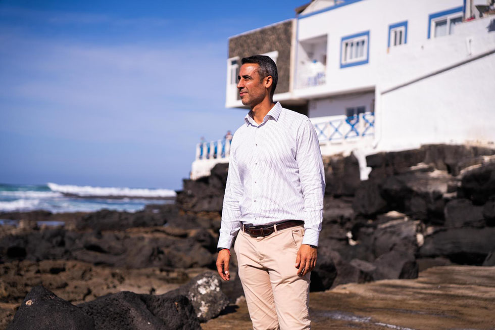
Manuel Miranda, the Councilor for Territorial Politics, emphasized the importance of adhering to safety measures during this volatile weather. He cautioned against approaching the coastlines, promenades, or dikes, as the predictive models suggest worsening sea conditions, particularly during the night when waves may reach heights of five and a half meters.
This warning is not just precautionary. Tragically, this year has already recorded nine fatalities in water-related incidents, underscoring the critical need for caution to prevent further loss of life. Miranda urged the public to prioritize safety and adopt necessary preventive measures.
Prealerts for Wind and Rain
Alongside the coastal alerts, prealerts for wind and rain have been implemented across certain regions, effective from 21:00 hours on the same day. This precaution covers parts of El Hierro, specific municipalities in La Palma, and areas in Tenerife, including the national park of Teide.
The winds are expected to be moderate to strong, originating from the west, with possible gusts reaching between 40 to 70 km/h in higher elevations. The forecast predicts sporadic rain showers, with potential heavy downpours reaching or exceeding 15 mm in an hour, especially in the northern half of La Palma and possibly extending to El Hierro and northern Tenerife.
Recommendations for Self-Protection
In light of the dangerous conditions, authorities recommend delaying nautical activities and avoiding swimming in remote or unsupervised beaches. If unusual waves are observed, it is prudent to maintain a safe distance from the shore.
Ensuring personal safety means staying away from docks and breakwaters and avoiding places where one might be struck or swept away by the waves. It’s also essential to recognize that swimming is prohibited in beaches marked with red flags, and it is vital to heed the instructions of lifeguards and rescue personnel.
Regarding wind-related safety, it is advisable to remove pots and other potentially hazardous items from balconies and rooftops to prevent them from becoming airborne projectiles. People are also encouraged to avoid near-ruins and construction sites, as well as to steer clear of elements that might be dislodged by strong winds.
When dealing with heavy rains, it is important not to drive or park vehicles in riverbeds or wadi areas. Extra caution should be taken while driving in adverse conditions—keeping a safe distance between vehicles, ensuring brakes and tires are in good condition, and moderating speed are essential precautions.
Emergencies can happen unexpectedly; therefore, anyone in need of assistance should immediately contact emergency services at 112.
For more safety advice, you can visit the official website of the Government of the Canary Islands here.
The ocean is a captivating yet powerful force, and with it comes the necessity for vigilance and respect. This season’s tempestuous nature serves as both a warning and an opportunity to appreciate the beauty of our natural world while emphasizing the importance of safety.